NimboStratusAI
NimboStratusAI by NimboStratusAI tracks severe weather, flooding, wildfire smoke, aviation hazards, drought, hurricanes, and real-time environmental threats for comprehensive monitoring and alerts.
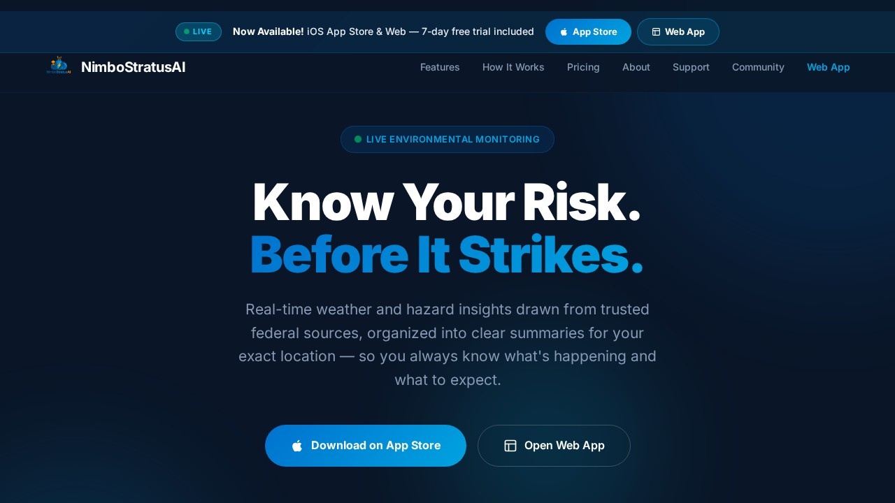
What is NimboStratusAI?
NimboStratusAI is a real-time environmental monitoring platform that tracks severe weather, flooding, wildfire smoke, aviation hazards, drought, hurricanes, and other environmental threats. It pulls data from over 50 sources across 10+ federal agencies to deliver clear, location-specific hazard summaries. Users rely on it to know their risk before it strikes, with 24/7 monitoring across 8+ hazard categories. The platform is available as a mobile app via the App Store and as a web app.
Application scenarios
Severe weather tracking
Monitor live active alerts, tornado warnings, and storm environment data like CAPE and wind shear for your exact location.
Flood risk assessment
View live flood risk maps with river gauges to see flooding building in real time before it peaks.
Wildfire monitoring
Track every active US wildfire, including acreage, containment percentage, and county fire weather alerts.
Aviation route planning
Get flight path weather briefings with SIGMETs, G-AIRMETs, and turbulence plotted along your exact route.
Coastal and marine safety
Access 48-hour tide forecasts, NDBC buoy data, and live marine alerts for coastal conditions.
Earthquake and volcano awareness
Track real-time USGS earthquake events (magnitude, depth, distance) and live volcano activity with warning levels.
Emergency preparedness
Use built-in checklists for go-bags, evacuation routes, water storage, and communication plans.
Core Features
Live active alerts
Every active hazard for your location is shown the moment it's issued.
Live flood risk map & river gauges
See flood risk building in real time with MRMS data and river gauge readings before flooding peaks.
Active fires & burn restrictions
Every active US wildfire is displayed with acreage, containment percentage, and county fire weather alerts.
Mesoanalysis & storm environment
Access operational data including CAPE, STP, SCP, and wind shear for storm chasers and forecasters.
Live lightning & storm tracker
Animated radar with METAR thunderstorm markers and proximity alerts keeps you aware of nearby storms.
Interactive drought monitor
View USDM drought severity from D0 to D4, with pan and zoom down to your county level.
Tides, buoys & coastal conditions
Get 48-hour tide forecasts, NDBC buoy data, and live marine alerts for coastal areas.
Flight path weather & route briefing
SIGMETs, G-AIRMETs, and turbulence are plotted along your exact flight route.
Per-location alerts
Set alerts for tornadoes, evacuations, earthquakes, outages, and more for every location you monitor.
Real-time earthquake tracker
Over 297 USGS events are mapped with magnitude, depth, and distance from your location.
Live volcano activity & USGS alerts
Warning, Watch, and Advisory levels are mapped as notices are issued.
Emergency preparedness checklists
Access go-bags, evacuation routes, water storage, and communication plans.
Target users
NimboStratusAI is built for meteorologists, atmospheric scientists, environmental scientists, emergency management professionals, storm chasers, severe weather enthusiasts, pilots, aviation professionals, first responders (fire, EMS, police), government and public safety officials, educators, researchers, and weather enthusiasts. It also appeals to software developers, UX/UI designers, and other science professionals who need reliable environmental risk data.
How to use NimboStratusAI?
To get started, download the app from the App Store or open the web app directly from the official website. You can sign up for the beta program by providing your email address and background (e.g., meteorologist, emergency manager, pilot) to receive a TestFlight invite. Once in the app, you can view live active alerts, explore hazard maps, set per-location alerts, and swipe through real screenshots of the safety dashboard. The platform requires no complex setup—just open it and see your location's risk in real time.
Effect review
NimboStratusAI delivers a comprehensive, data-rich environmental monitoring experience that feels purpose-built for professionals and enthusiasts who need actionable risk information fast. The breadth of hazard categories—from wildfires and floods to earthquakes and aviation weather—covers most natural threat scenarios in one dashboard. The reliance on 50+ federal data sources gives it credibility, and the per-location alerting system adds practical value for users monitoring multiple areas. While the platform is still in beta with 10,000 tester spots available, the feature set already suggests a polished tool for real-time situational awareness. For anyone who needs to know their environmental risk before it strikes, NimboStratusAI is a strong contender worth testing.
Frequently Asked Questions
What types of severe weather does NimboStratusAI monitor?
Does NimboStratusAI provide real-time alerts?
Can I customize the alerts I receive?
Is NimboStratusAI suitable for aviation safety?
Does it cover global regions or only specific areas?
Is there a mobile app available?
NimboStratusAI - AI Tool Detail
NimboStratusAI by NimboStratusAI tracks severe weather, flooding, wildfire smoke, aviation hazards, drought, hurricanes, and real-time environmental threats for comprehensive monitoring and alerts.
Category:Personal Assistant
Visit Link:https://nimbostratusai.com/
Tags:weather monitoring、severe weather alerts、environmental tracking、disaster management、real-time hazard detection